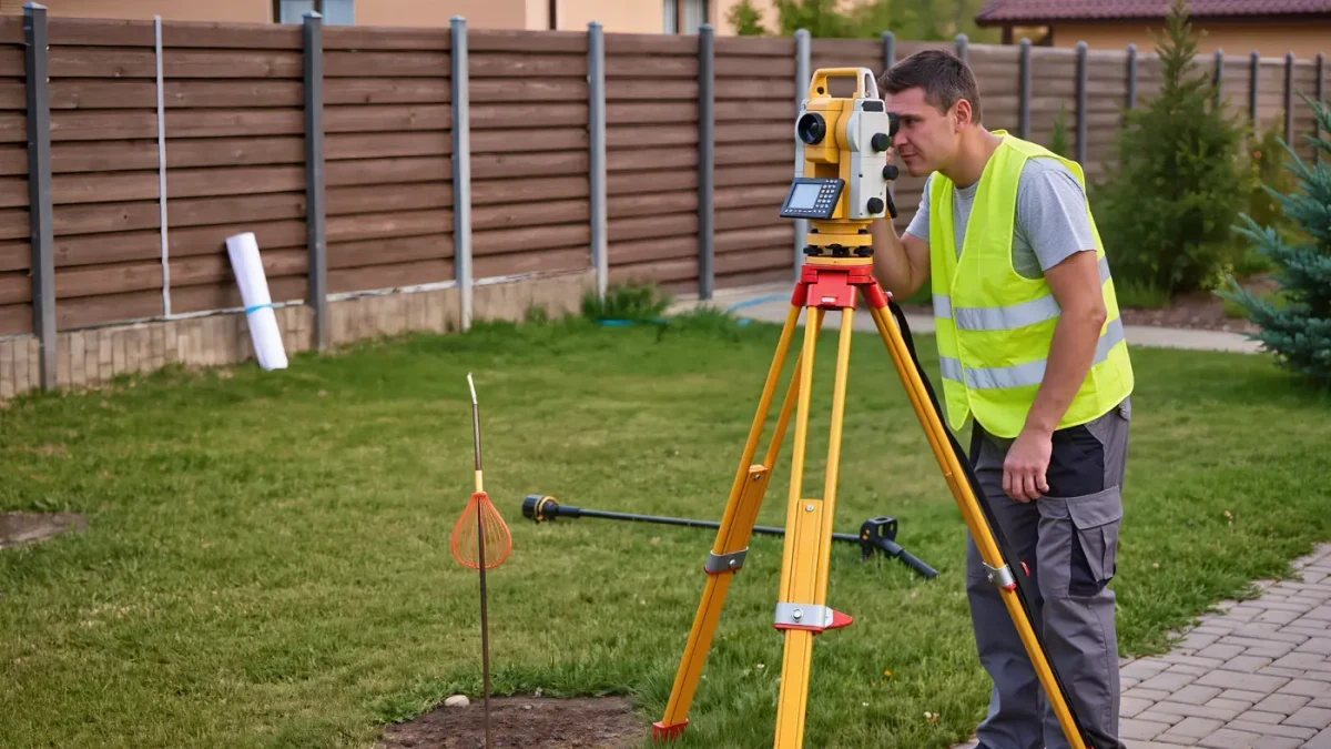
A survey is a licensed professional's measured drawing of a property's legal boundaries, improvements, and encumbrances — the document that answers, with lines instead of arguments, where your land ends, what sits on it, and what rights others hold over it. The plat map is the neighborhood-scale drawing showing how the subdivision was divided into lots. Most buyers skim both at closing; the disputes that surveys would have prevented — the fence over the line, the neighbor's shed, the surprise drainage easement — are perennial fixtures of property litigation, and title insurance policies carry survey-related exceptions precisely because boundaries matter.
Here is how to read yours. (This article publishes information, not legal advice.)
The basic vocabulary
- Boundary lines and bearings: the property's edges, described in the metes-and-bounds tradition by compass bearings and distances (N 42°15'30" E, 125.40 feet) or by lot-and-block references to the recorded plat. The numbers are the law; the fence is not.
- Monuments: the physical markers — iron pins, concrete markers — found at corners. A found pin beats a remembered one.
- Improvements: the house, garage, driveway, well, septic, pool — drawn where they actually are, which is how you learn the garage sits two feet over the line.
- Setbacks: the drawn or noted distances from improvements to boundary lines — your first check against local zoning when planning an addition.
- Easements: rights others hold to use part of your land — utilities, drainage, access. Drawn as dashed lines with labels; the most consequential marks on the page.
Read it in this order
- Match the drawing to the deed's legal description — lot and block numbers, or metes and bounds; a survey of the wrong parcel is rare but not mythical.
- Walk the boundaries against reality: take the survey outside. Does the drawn fence sit on the line, inside it, or over it? Fences are frequently not on property lines; the survey is the truth and the neighbor's belief is not.
- Find every easement and ask what it entitles: a drainage easement may forbid fencing or building over a swale; a utility easement gives the power company the right to dig up a strip of your yard — landscaping there is done at your own risk.
- Check encroachments both directions: their shed on your land (your problem to tolerate or challenge, and a title issue if unrecorded) and your driveway on theirs (title insurance and negotiation territory).
- Look for the riparian or high-water line if water adjoins — the boundary of waterfront property is legally subtle, and the survey is where it shows.
Types of surveys you may meet
| Type | Shows | Typical use |
|---|---|---|
| Boundary/lot survey | Lines, monuments, improvements | Standard purchase |
| Mortgage/ALTA survey | Boundary + easements, encroachments, detailed certification | Lenders, commercial, disputes |
| Plat of subdivision | How a tract became lots | New builds, land purchase |
| Topographic survey | Elevation and contours | Building design, drainage work |
When you need a new survey
Any purchase where boundaries are unclear or fences conflict; before building anything near a line (the $600 survey versus the $16,000 garage relocation); when selling land you subdivided; and when a neighbor's project approaches the line — the pre-construction conversation between surveyors is the cheapest dispute resolution mechanism in property law. Boundary disputes themselves follow quiet-title and adverse-possession doctrines that vary by state; if a disagreement survives one neighborly conversation, the next call is a real-estate attorney with the survey in hand, not a fence company.
FAQ
What is a property survey?
A licensed surveyor's measured drawing of a parcel's legal boundaries, monuments, improvements, and easements. It is the authoritative answer to where your property ends — fences and assumptions are not.
Does a fence mark the property line?
Frequently not. Surveys routinely find fences feet from the legal line. The boundary is defined by the deed and monumented corners; the fence is a structure that may encroach — check it against the survey before relying on it or building to it.
What is an easement on a survey?
A legal right for someone else to use part of your land — for utilities, drainage, or access — shown as labeled dashed lines. Easements can restrict fencing, building, and landscaping within them, and they run with the land, so read them before planning improvements.